Geomatics
Available Languages:
English
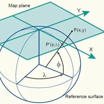
Geomatics is commonly defined as a discipline aimed at managing geographic data by means of the science and technology used to acquire, store, process, display and distribute them. [AGROVOC]
Narrower Topics
Remote Sensing
The practice of obtaining information about the Earth's surface land and water features from images acquired at a distant vantage point. Includes aerial photography, satellite imaging and radar sensing methods.

